
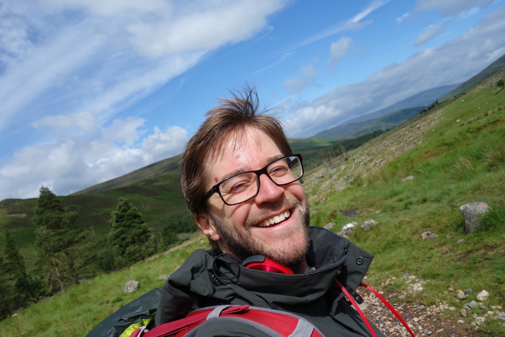
This is a short recap of my week walking on the West Highland Way in Scotland. I have to admit, I was a bit nervous at first. This would be my first vacation mostly on my own, I had planned to walk by myself and was not sure, how easy it would be for me to connect to people. Turned out, my concerns were pretty unnessecary, it was a good experience and I met a lot of nice people along the way. Although, I have never done another long-distance trail before, I found it to be a quite easy one to start with. After the 155 km of the actual way, I finished my journey with an ascend of Ben Nevis, Great Britains highest mountain, which happened to be right next to Fort William, the end of the West Highland Way.
27.06.2017: Milngavie to Drymen
Length: 19 km
Duration: 4.5 h
I was slightly concerned when I started my journey on Tuesday morning shortly after 10 o’clock in Milngavie. It was raining already and the weather forecast didn’t promise anything different for the next days. I had hoped for better weather for my journey, as I hadn’t packed any extra rain gear.
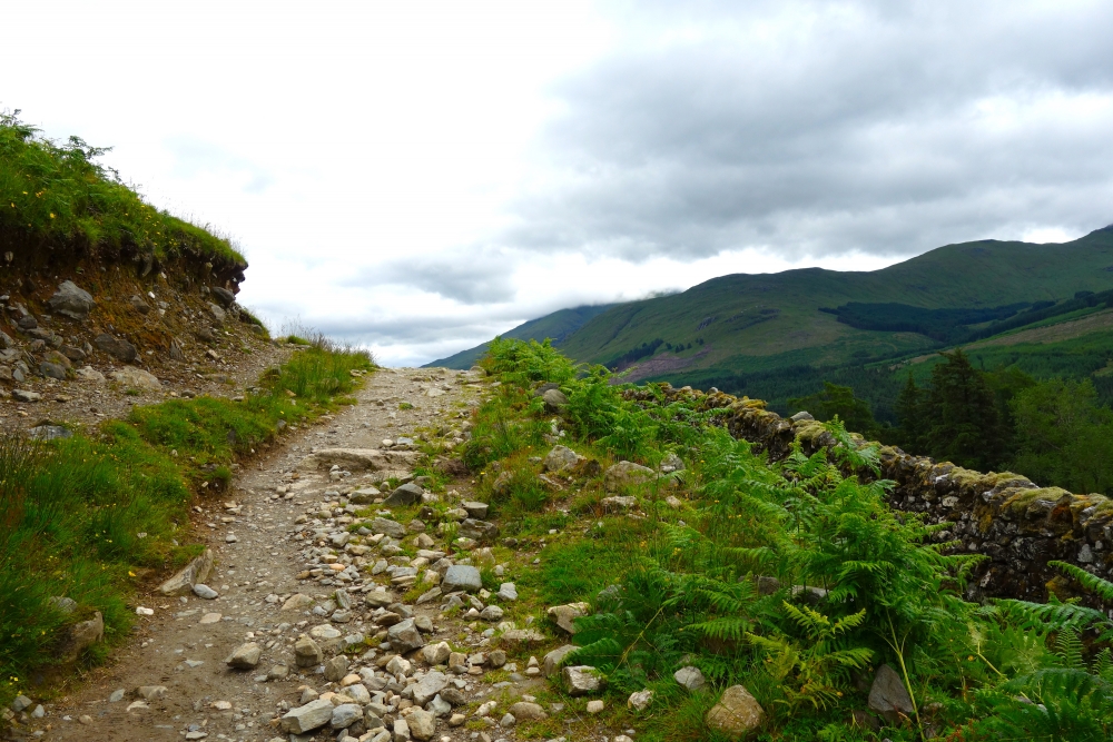
The tour started in the center of Milngavie, but reached a small forest soon after. The leaves shielded a lot of the rain, so I was fine. When I finally came out of the woods, the rain stopped. But I wouldn’t see the sun that day … it was either drizzeling or just cloudy. From now on, the way led mostly over wide paths and paved roads alongside fields with sheep or cattle and forest maintenance roads. Although included in the West Highland Way, this was technically not the Highlands, but the Lowlands. As I learned last year, while visiting the Glengoyne destillery, the way went alongside the border between High- and Lowlands, passing said destillery.
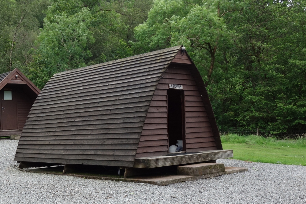
This first part of the way ended in the town of Drymen. I reached my first stop – a little hostel called „The kip in the kirk“ quite early. I was there at almost 15 o’clock, where – after a shower – I had tea and scones with the other guests. There I met Simone from Italy, Emma and Kathy from Taiwan and Martin, Johannes and Tirza from Germany with whom I would spend the most of the following evenings as well.
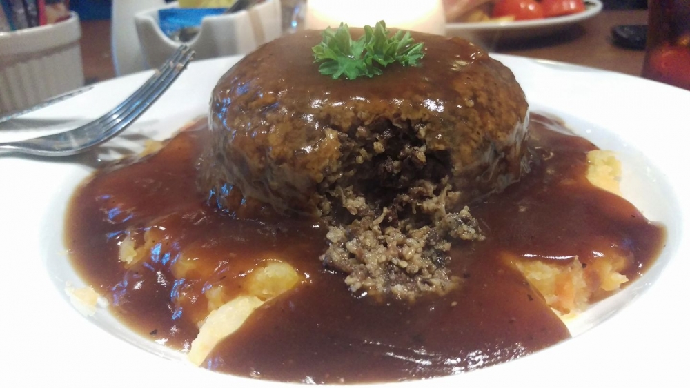
Simone and I met again later when I headed out to find something to eat, in „The Clachan“ – Scotlands oldest pub. We ended our first day on the West Highland Way with a „pub grub“ – the kind of food, they serve in pubs, like fish and chips, haggis, scotch steak pie … – and some drinks (scottish beer and – of course – Scotch).
28.06.2017: Drymen to Rowardennan
Length: 24 km
Duration: 6 h
The second day began like the last one ended – with clouds and a little drizzle. I started around 10 o’clock with a little detour, because I didn’t find the way. On the road to the first village along the way – Balmaha, on the side of Loch Lomond – I passed a lot of people, I passed on the day before already. With some of whom I had a nice talk, like two older couples from North Carolina. When telling them, I had taken a minor detour, they joked about me staying in the pub to long the night before … they’ve had dinner there, too.
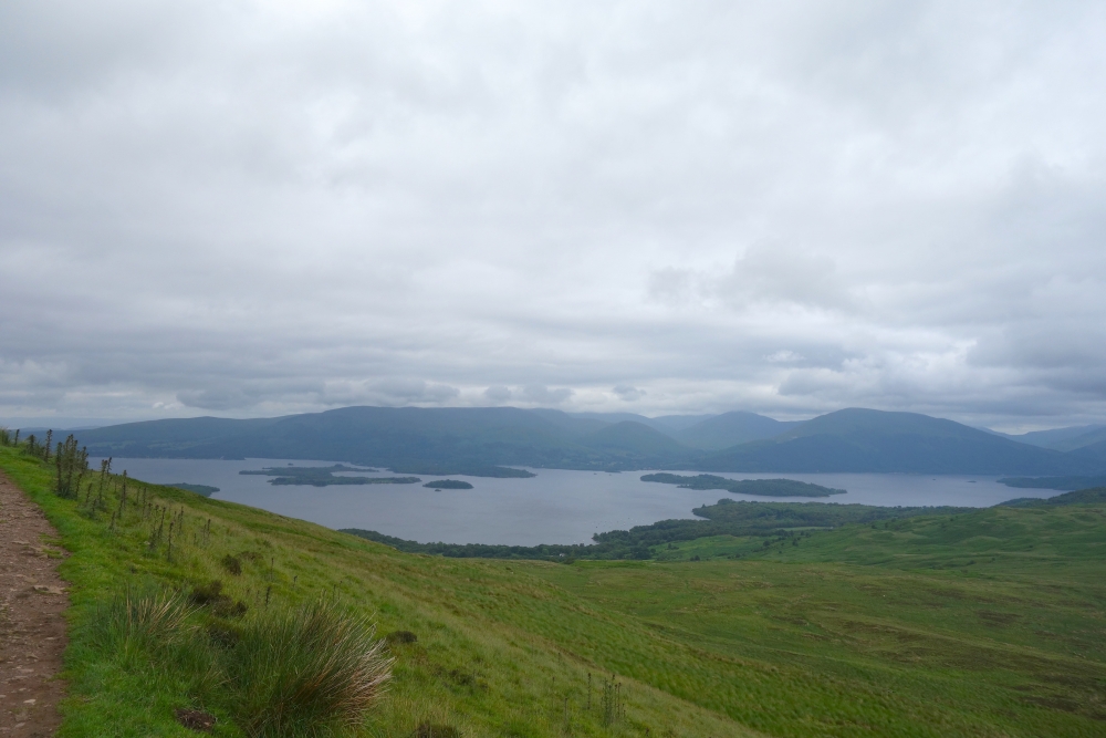
Before reaching Balmaha, the West Highland Way climbed a little, but steep hill – Conic Hill. On top, I tried to have lunch, but the winds would almost blow my sandwiches right out of my hand. There I met Simone, the italian from the hostel from the night before. After the long way down Conic Hill, I had a cup of coffee and a pint of beer for the road in Balmaha, which consists of a hotel, restaurant, café and a visitor’s center, before the WHW started to lead alongside Loch Lomond on paths that felt a lot more like trekking and hiking than the first day.
I would stay the night in the Rowardennan Youth Hostel located in an old castle on the shore of Loch Lomond. There I met Simone, Kathy and Emma again and we spent the evening in the lounge with some beers and a beautiful view on Loch Lomond.
29.06.2017: Rowardennan to Inverarnan
Length: 22 km
Duration: 6.5 h
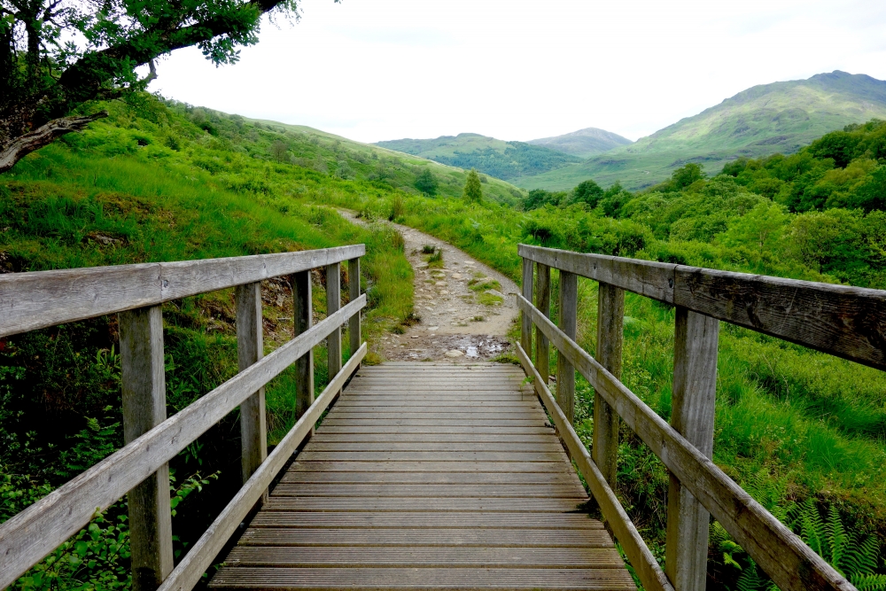
This – for me – was the hardest part of the whole way. The West Highland Way led through a forest, always close to the east side of Scotlands largest lake, Loch Lomond. At first, I walked on forestry roads until the WHW comes to a cross roads. One way stayed on the forestry roads and the other leads closer to the lake’s side. This one became rockier and – it was raining – muddier. I could not walk as fast and easy as on the days before and I had to use my walking poles (thanks, Dad, that I could take your’s) to prevent me from slipping or tumbling.
The road continued to be that way after I passed the first half of the way at Inversnaid. There was also a cave where the famous Rob Roy supposedly held noble people hostage for ransom, but I did not visit this cave – it was not so big, my travel guide said, and while I was there, a group of kids were on there way to the cave entrance.
The lake sounded like the sea on that windy day and I made several stops on small beaches. There was also one campsite where one could place his tent at such a beach and have it for himself. I stayed at a campsite where I had a Camping Cabin, a very small house with two beds and a radiator (that’s all), for myself. In the evening I met with Simone, Martin and Daniel, another guy from Germany, for dinner. Here I had my first Haggis for this trip …of course with beer and whiskey.
30.06.2017: Inverarnan to Tyndrum
Length: 21 km
Duration: 4 h
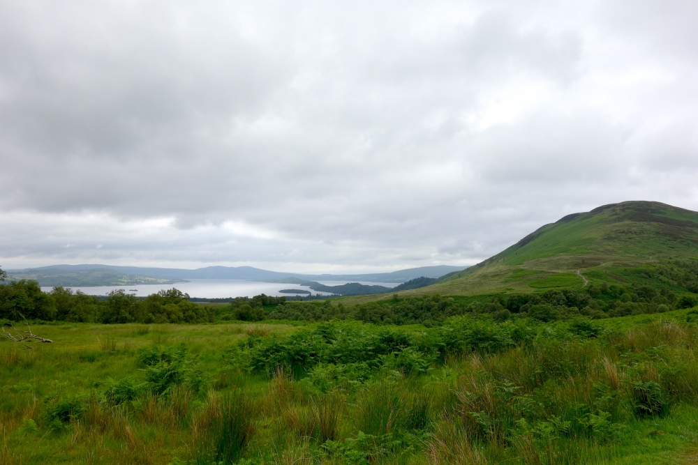
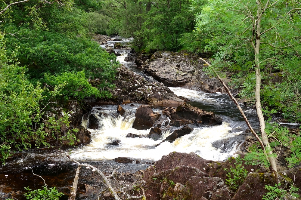
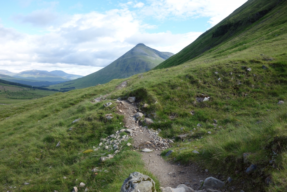
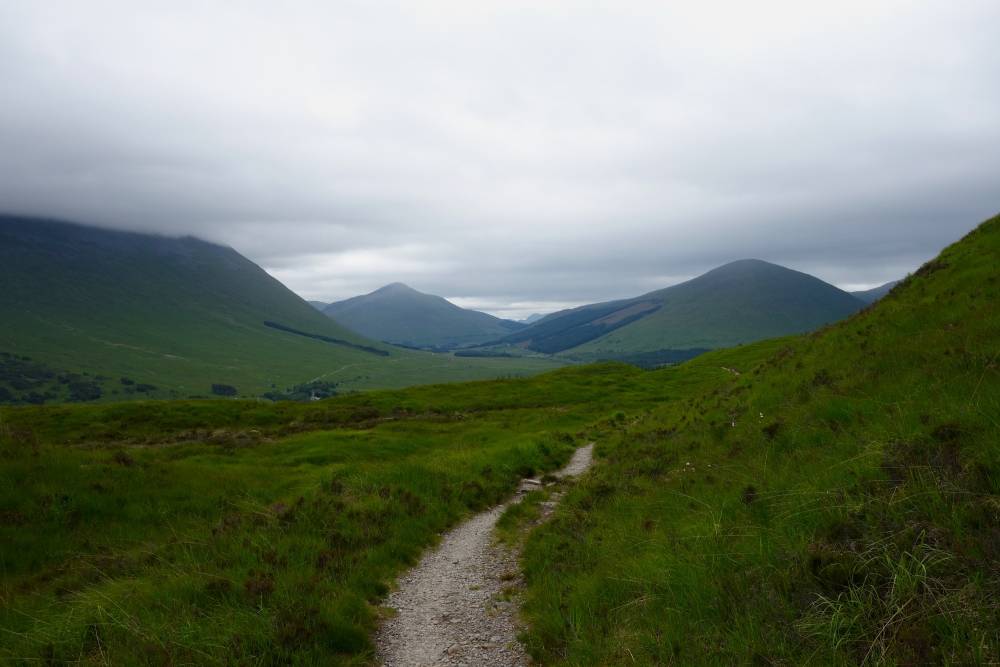
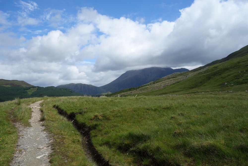
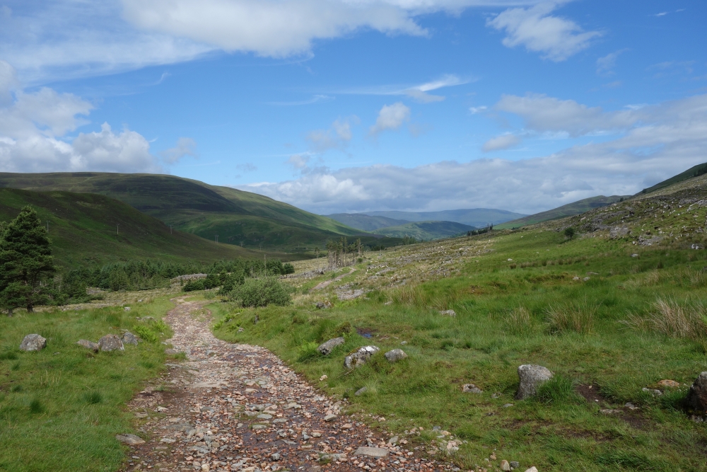
This part of the West Highland Way led away from Loch Lomond. The landscape shifted from forests to the more iconic hills and green meadows with stones lying around. At first, after leaving Inverarnan and walking north, the road passed a lot of waterfalls, all rushing in the river Falloch which flows towards Loch Lomond.
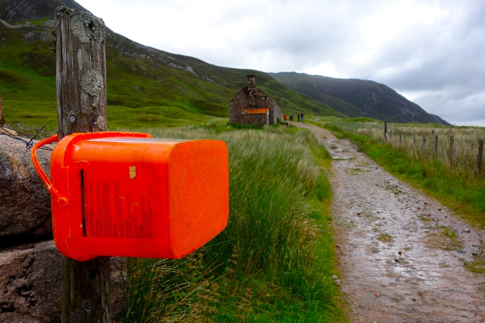
Half way through this day’s part of the trail, I was suppossed to reach a small village named Crianlarich. But when I reached the crossroads, I was to consumed with what to buy from the local „Honesty Box“, that I totally missed it and kept heading towards my destination for today – Tyndrum. An Honesty Box was a crate filled with soft drinks, candy and other things to eat, often placed there by inhabitants of nearby villages. Most items were available for 1£ (1 Pound). When taking an item and paying that fee, you were „honest“. Along the way I found a lot of different Honesty Boxes – some of them only containing home made stuff like cookies or self-made lemonade. I usually bought a can of Irn-Bru. This soft drink tasted a lot like a cough medicine, I ‚ve gotten when I was younger – Mucosolvan.
After climbing a small hill, which provided a beautiful view over the forest and the hills, the way led through farm land with a lot of sheep. Here I met Daniel, with whom I have had a few beers the night before. We continued our way together – luckily, he was walking at the same speed I was. We were both pretty surprised, when we reached Tyndrum before 14 o’clock in the afternoon – for me just 4 hours for 21 kilometers. Usually, check-in for the hostels was not before 15 or even 16 o’clock. When we arrived at the camping site, the owner told us, that this last part of the WHW was one of the easier ones, especially on a nice day like this one, and people tend to arrive earlier than usual, so he allowed check-in from 14 o’clock.
This afternoon, I made a big mistake. I cut open two small and old blisters on my pinky toes … that hadn’t even hurt. Turned out, the blister tapes didn’t exactly fit my toes and so my feet now hurt. I used the remaining time until dinner to sit in the sun on the camp site and read my graphic novel. And after doing our laundry – in washing machines and dryers, not by hand like savages this time – we headed out for the local pub.
01.07.2017: Tyndrum to Kingshouse
Length: 30 km
Duration: 7 h
The longest part of the journey started with an unpleasent surprise. The dreaded midges! While there hadn’t been any on the day before, this morning, I got immediately swarmed when I left my cabin. Gladly, they didn’t appear while walking, I guess, I was not tasty enough … So I didn’t even had to use the quite stupid looking mosquito net I bought.
The first part of the WHW today led to Bridge of Orchids, a small settlement which seemed to be build around a big hotel and a train station. On this morning, it was really sunny, so I could enjoy my walk wouldn’t there be the two blisters I cut open the day before. So when I finally reached Bridge of Orchids, I made a stop on a small rock on a meadow and tended to my feet. There I met some other hikers, who had just arrived on the train station and started walking the way back to Tyndrum. Knowing them from previous days on the way, I asked them, why they did this, instead walking the „right“ direction. Turned out, all beds in Kingshouse and Kinlochleven were booked the time they looked for some. So they had decided to stay in Tyndrum for a few nights and travel from there by train to their next stages and back in the evening.
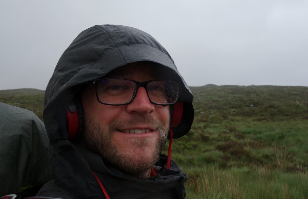
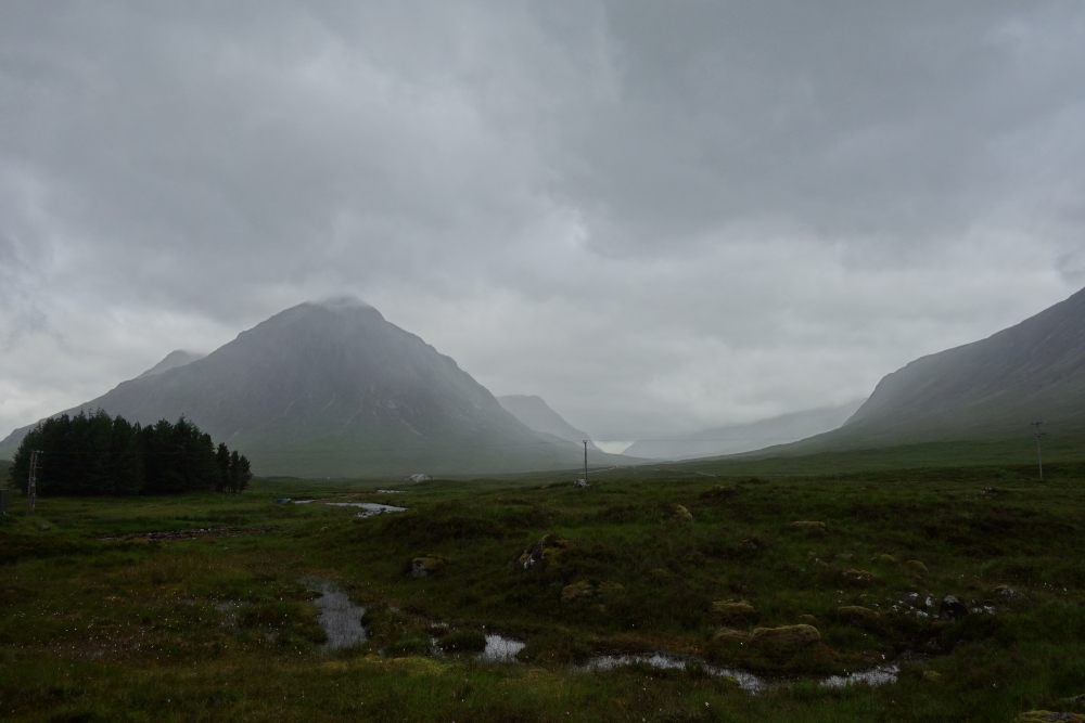
After having climbed a small hill, it started to rain lightly. From now on, it wouldn’t stop until after I had already reached my destination. And the drizzle would turn to real rain soon after. The last 15 km started on an almost cobblestone-like road. Wet from the rain, they were quite hard to walk and this road led through an open area known as Rannoch Moor. I guess, on a nice day, the view must be beautiful, but this was no nice day. The wind kept blowing me rain into my face, my trousers were totally soaked and using my camera or phone to take a picture resulted only in blurry crap. The best thing I could do was putting on some good Death Metal and kept walking until I reached Kingshouse.
After a shower I had myself a hot cup of tea in the „Climber’s Bar“, the bar/restaurant/pub of the hotel – Kingshouse was made up of just one hotel. That was much needed after all the rain and wind. Since it was only 16 o’clock when I arrived, I had to wait for some time, until another familiar face showed up, Emily, whom I had met on the road on the previous day. We had a beer and waited for other people we knew to arrive. And after having some delicious venison (deer meat) burgers and of course some beers whe called it an early night. Knowing that there would be a climbing hall in Kinlochleven the next day, I invited everyone to join me, when they would arrive.
02.07.2017: Kingshouse to Kinlochleven
Length: 14 km
Duration: 3 h
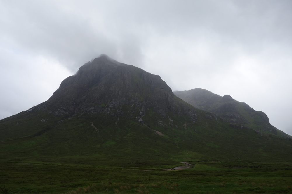
The first half of this part of the West Highland Way for today led me to the Devil’s Staircase. It was the steepest part of the way and ended on the highest point of the entire way – 550 m above sea level. Sadly, it was raining and windy again and I didn’t want to stay on the top to take some photos. But I met a guy there, who refilled the Honesty Box – or better: Honesty Tents – on top. He had already passed me on the way up – and I thought, I was fast. We chatted a while about my trip and the Irn Bru I just bought. He told me, it was even surpassing Coca Cola in sales in Scotland, but was hardly available anywhere else in the world.
From here on the way led only down to Kinlochleven. There I went to my hostel first, but couldn’t check-in – it was 12:30 o’clock. I decided to check out the local climbing gym, the IceFactor. It should have one of the biggest indoor ice climbing areas in Great Britain. I wanted to go bouldering there, but arrived at a day, where te Rat Race took place – a race from Edinburgh to Ben Nevis – and all contestants had their luggage stored in the local bouldering room (yes, it was just a small room). Instead I decided to climb on routes with auto belays (since I didn’t have someone to belay me – or belay myself). But before I had even started, Kathy and Emma joined me and tried it out themselves. Later, Simone joined us as well and we stayed there until almost 6 o’clock. After finally checking in and taking a shower, we met again in a local pub for some gigantic servings of fish and chips. There we met Emily, Johannes and Tirza as well and spend a nice evening. Well prepared for the final part of the journey!
03.07.2017: Kinlochleven to Fort William
Length: 25 km
Duration: 5 h
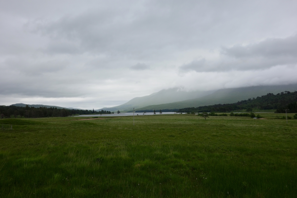
For my last day on the trail, Scotland surely wanted to present herself from her best side. Almost from the beginning, the weather was beautiful. I have to admit, after leaving Kinlochleven – without getting a proper Full Scottish Breakfast, like I had hoped – there was still fog in the air and it rained briefly. But after that, the sky turned blue and the sun shined brightly.
Leaving Kinlochleven, I had to follow a small trail up a hill where I apparently took a wrong turn and lost my way. After following a paved road further up the hill I found an abandoned hotel, which, hadn’t there been no CCTV signs (video surveillance), I would have „visited“ as a Lost Place. Being convinced to be on the right track, I headed on, only to find the road blocked by an No entry-sign and a small settlement called „Stalker’s Lodge“ – may have been also abandoned. After consulting my map and compass, I decided to go back.
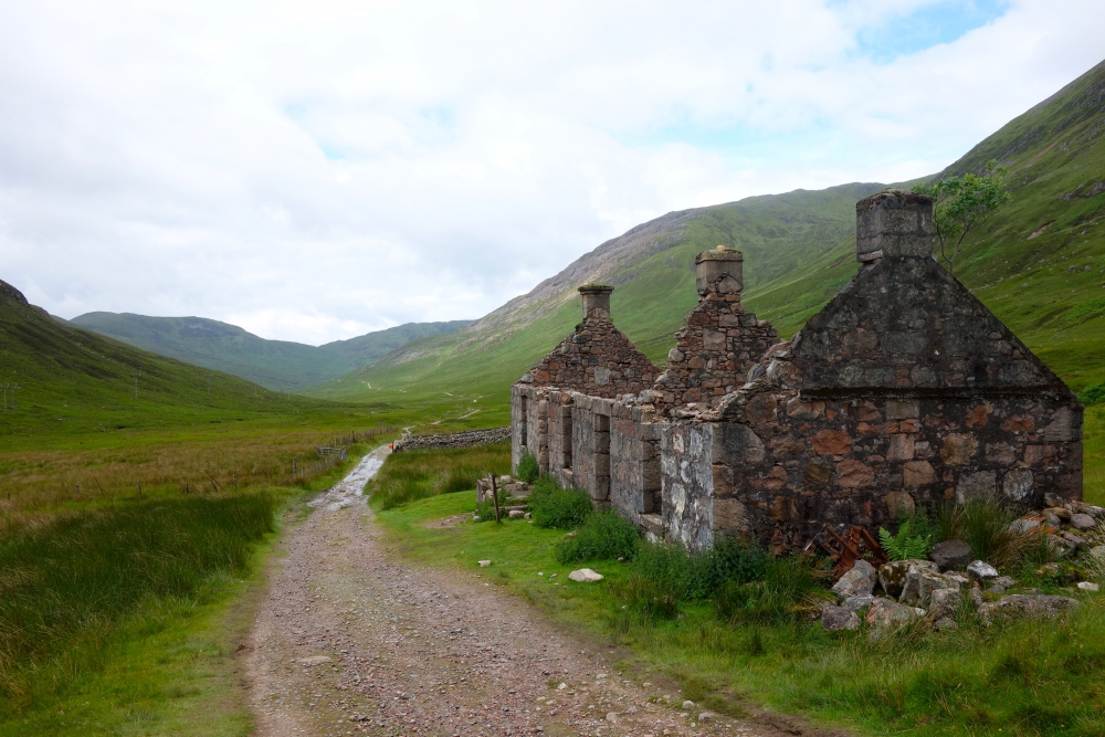
After I found the right way, I met the hikers from two days ago again, the ones who had traveled by train between starting points. After reaching the top of the hill, or rather a saddle between hills, the way got a lot easier. Mostly flat, but sometimes the way would turn into a small stream for a few meters – a stream would have crossed the way, but eroded itself a new path on that way. So I had to balance across stones to keep my shoes dry. The West Highland Way passed two abandoned farm houses (Tigh-na-
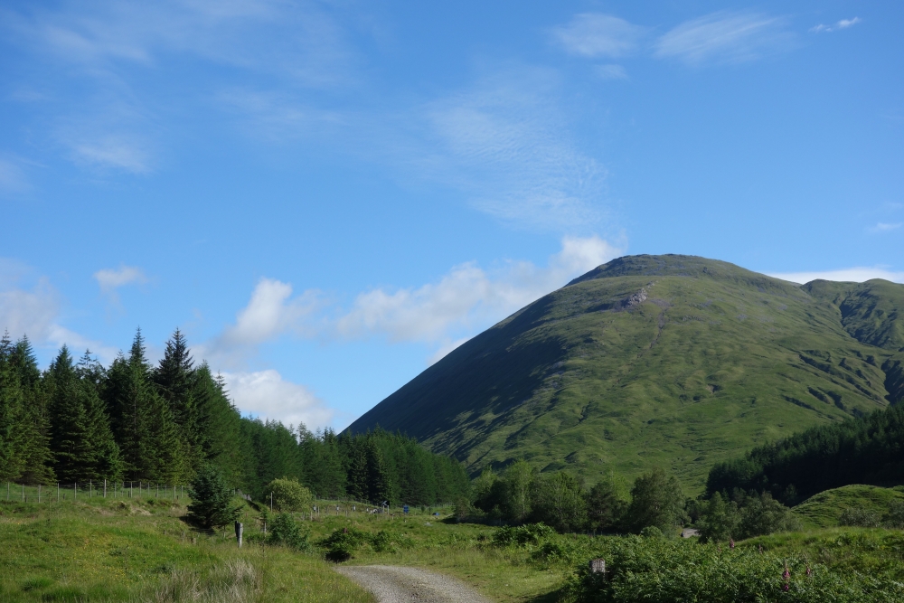
A few kilometers before I finally reached Fort William, the way led through a vast area of cut down trees – scottish forestry work at its finest. It made that part of the way to one of the ugliest. But I also got some really nice views on Ben Nevis. With 1344 m above sea level, it is Great Britains highest mountain and would be my destination for the following day (Read about it here).
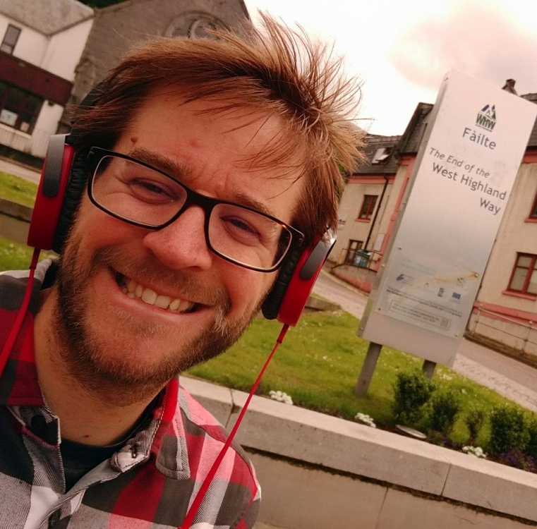
When I reached the outskirts of Fort William, I had to walk along a – for that area – heavily frequented road, which made the last 3 kilometers really dull. So I was quite relieved when I finally made it to the end of the way – the end of the West Highland Way on Gordon Square, Fort William. All days combined, I had now traveled 155 kilometers on foot. This took me roughly 36 hours which leads to 4.3 kilometers per hour average speed (a little faster maybe, as I have not accounted for stops or detours).
Der Hammer =) hoffe ich kann dir bald mal wieder ein feines Bier kredenzen und ausfragen 😉
Oh ja! 🙂
Sehr cool. Und schöne Bilder dabei.
Klasse Tour! Eine schöne Zusammenfassung, die dir echt gut gelungen ist! Du schreibst sehr schön, sodass man den Eindruck hat, man wäre dabei gewesen! Einfach nur wow…..!
Vielen Dank! So ein Lob hört man doch gerne 🙂